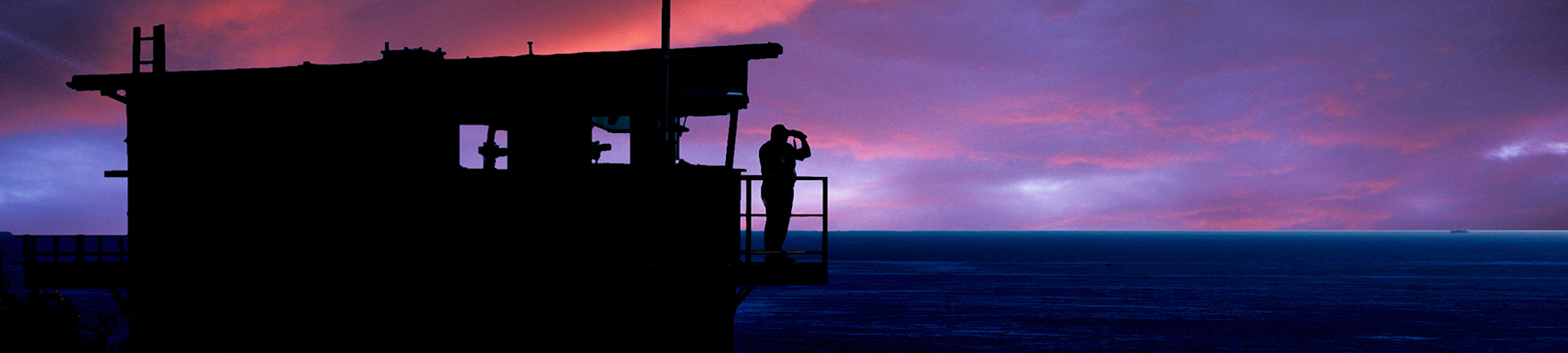

The Solent and Southampton Water area is a great place for water borne leisure activities. To make your time there even more enjoyable, we would like you to be safe. We keep a watch from Calshot Tower and see many incidents that could (and sometimes do) threaten safety to life. Remember that this water area is a busy entrance to Southampton Port.
Shipping and Safety Information
 Shipping movements within Southampton Water and a large part of the Solent are controlled by Southampton Vessel traffic Services ("VTS"). Monitor VHF channel 12; a summary of shipping movements is broadcast every 2 hours on channel 14 (at 10 past the hour). The Marine Traffic web site shows the positions and movements of ships derived from their AIS data. VTS have a web page for Leisure Users with much useful information. Their Yachtsman's Guide to Southampton water and its Approaches is a compact reference sheet designed to be printed off and kept on your boat.
  Please read it - some things are obvious and some not!
Portsmouth Harbour and approaches are controlled by QHM Portsmouth (VHF channel 11). QHM must be contacted before crossing the fairway within the Harbour.
Solent Hazards and Pilotage
The "visitMyHarbour" web site is very useful free resource for harbour pilotage and, being based on the Isle of Wight, gives a good overview for visiting the Solent area. Members can also download Hydrographic Office charts from their site.

Aerial photos taken at low tide show details of the sand banks which charts can never reveal!  Photos and descriptions of the coastline are available in two books: "Solent Hazards" and "Wight Hazards". Written for racing yachtsman trying to dodge the currents by going into the shallows, the information is equally useful to those wishing to drop anchor and picnic on the beach. While the tidal range in the Solent - upto 5m on springs - is small compared to some parts of the UK coast, it still results in strong currents and rapid changes in depth which can embarrass the unwary. We have more information on Solent Tides and Currents and also sources for Solent Weather forecasts and observations in separate pages on this site.
Harbour and River Guides

The comprehensive River Hamble Handbook is pubished annually in collaboration with the Hamble Harbour Authority and can be viewed on the Combined Hamble Clubs web site. Locally based in the River Hamble Sea Start offer marine breakdown assistance for the Solent Area.
 The Cowes Harbour Commisssion publishes an annual Port Handbook for Cowes Harbour, the River Medina, and Cowes for yachtsmen, visitors, local residents and commercial harbour users.
Information is available online for the Beaulieu River, for Lymington Harbour, and for Yarmouth Harbour .
N.B. NCI cannot vouch for the accuracy of the information in any of the sources listed!
[Page maintained by / Contact: Calshot Webmaster]